| How To Get There |
Shaeffer Farm:
- 270 North
- Rt.118 West (towards Germantown)
- Right after @ 2 miles on Rt.117 (Clopper Rd.)
- immediate Left on Shaeffer Rd.
- Left on small dirt road @1 mile (shares an entrance with a ranch)
|
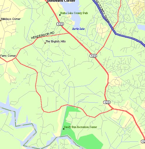
Shaeffer Farm & Clopper Lake
Map |
Clopper Lake:
- 270 North
- Exit onto Quince Orchard / Clopper, Westbound (should end up on Clopper)
- Left into Seneca Creek State Park (@ 2 miles)
- Right at T onto perimeter road,
- Left into 1st lot
|
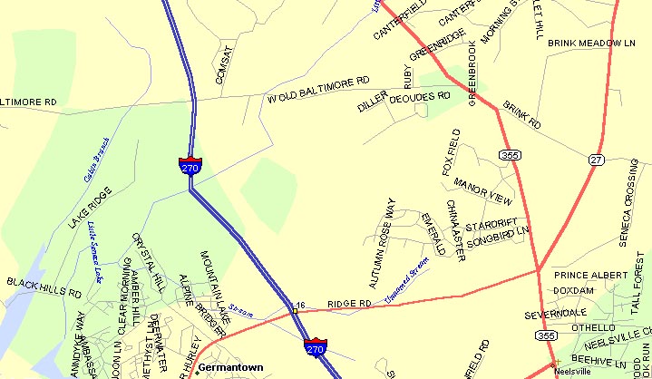
Black Hills:
- 270 North
- Exit 16 Father Hurley Blvd East (to right)
- Left on 355 to go North
- Left on West Old Baltimore Road
- Left into park at @ 1.5 miles
- Follow road to parking lot #5
| Black Hills
Map |
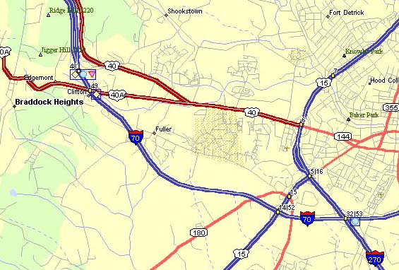
Gambrill:
- 270 North to Frederick
- Rt.15 North
- Rt.40 West through town and up a hill (stay on 40, not 40A)
- Right onto Gambrill Park Rd.
- Right into 1st lot (up the hill quite a way)
|
Gambrill & Watershed
Large Map
Zoomed Map |
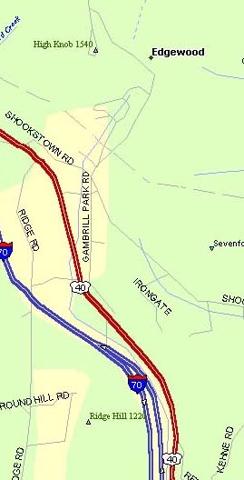
Catoctin Watershed:
- Follow directions to Gambrill
- Pass parking lot and continue on Gambrill Park Rd.
- Right on Hamburg (several miles)
- Park at pull-over by trailhead (couple hundred yards on Right)
|
| Avalon (Pavillions):
|
|