
|
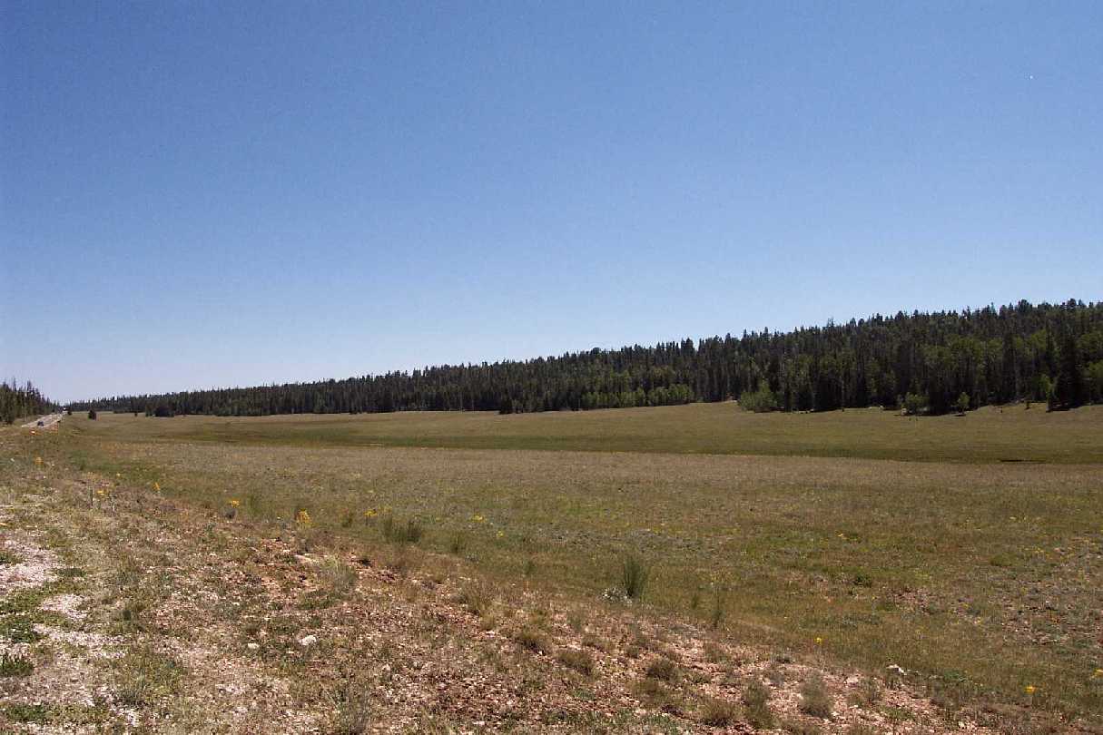
| Meadow Near North Rim Entrance |
We arrived at the Grand Canyon North Rim on the morning of 6 July. After stopping at several of the overlooks, we headed to the backcountry permit office. The NPS ranger on duty, Brian, was reluctant to issue a permit without a good bit of discussion. His well-founded reservations were centered on the extreme heat we'd encounter and the isolation that characterizes the western north rim section of the canyon. Nonetheless, after he and I discussed my previous desert hiking experience and he'd given me several good tips along with more detailed maps, he OK'd the trip itinerary. He was very professional in dealing with our request and providing much-appreciated caution and, at the same time, encouragement. He sent us off with the promise that, while it would be demanding, it would also be one of the most spectacular backpacking trips we'd ever take.
|
|
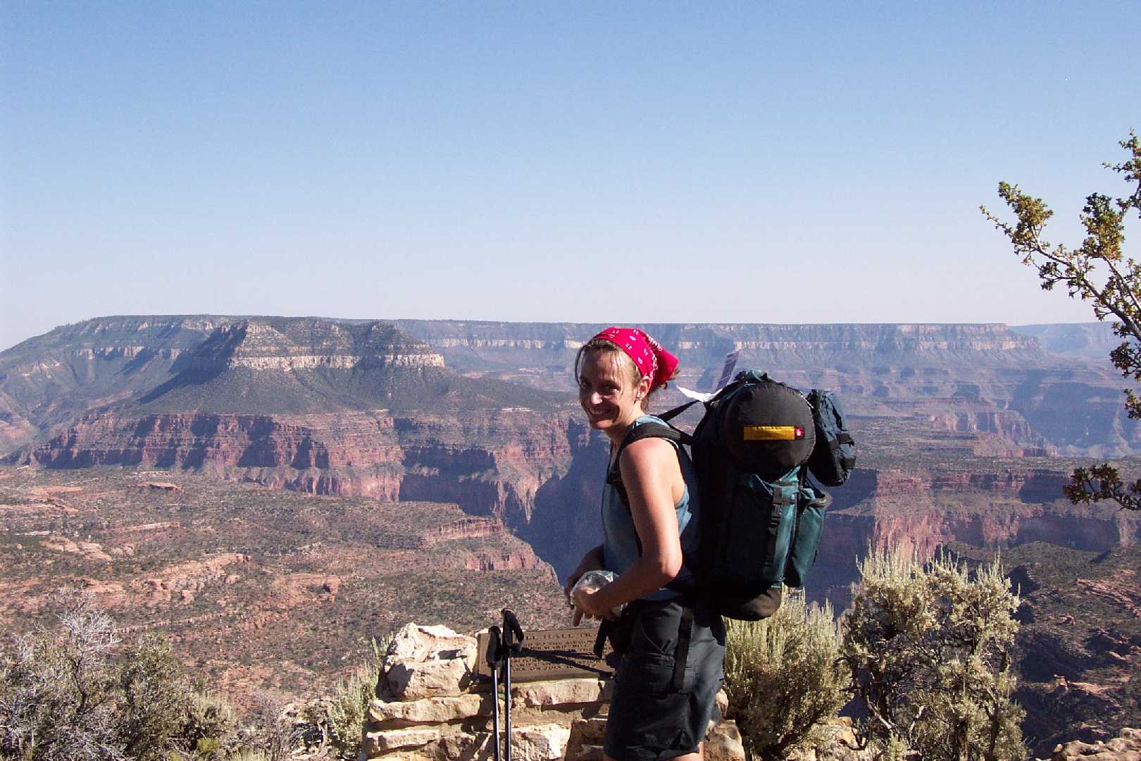
Donna at Monument Point |
|
|
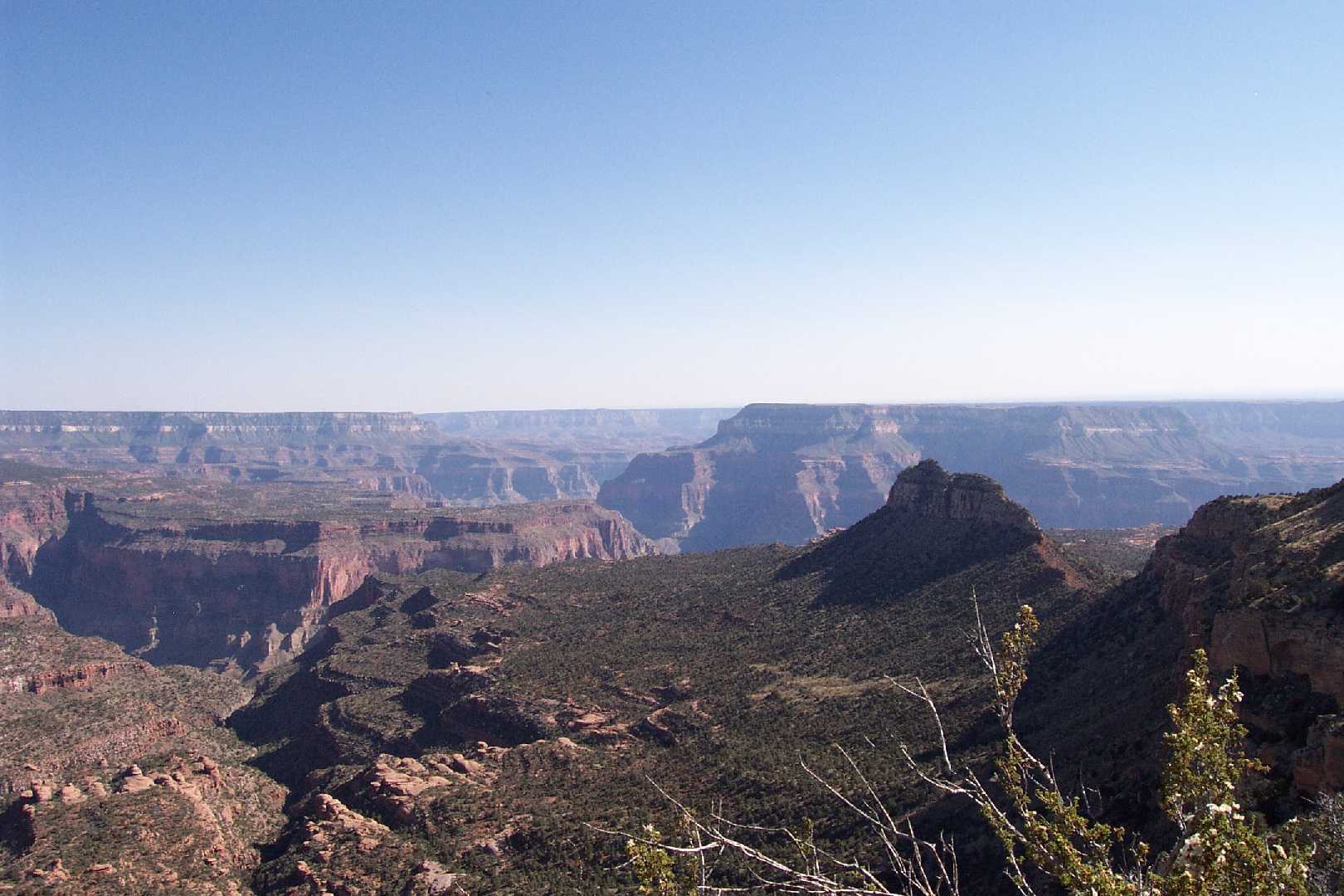
View from Monument Point |
From the Grand Canyon North Rim, the Bill Hall Trail is accessed via Arizona Highway 67 and a network of Forest Services roads. Monument Point (the Bill Hall Trailhead location) is roughly 1.5 hours away from the North Rim entrance, making it one of the more remote trails in GCNP. The trail is named after park ranger Bill Hall, who died in an accident during his service at GCNP in 1979. More detail on the trail may be found at: Bill Hall Trail Description
|
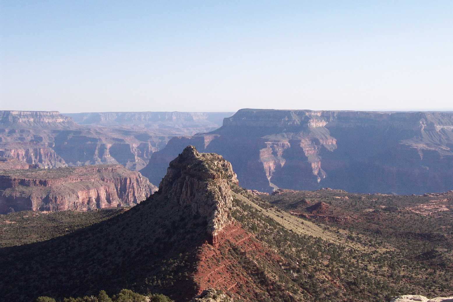
| Bridger's Knoll |
As we had a late start, we didn't arrive at the trail until mid-afternoon. This was a bit later than we'd hoped, but worked out well as it placed us near a campsite in the early evening hours. In profile, the Bill Hall Trail descends roughly 2000 ft. over a 2.5-mile distance. The trail begins with a steep drop off of the south ridge of Monument Point, making its way over rocky terrain and exposed cliffs of Kaibab limestone (the youngest of the Grand Canyon layers, 250 million years old). The route then wraps around Monument Point, providing a good view of Bridger's Knoll.
|
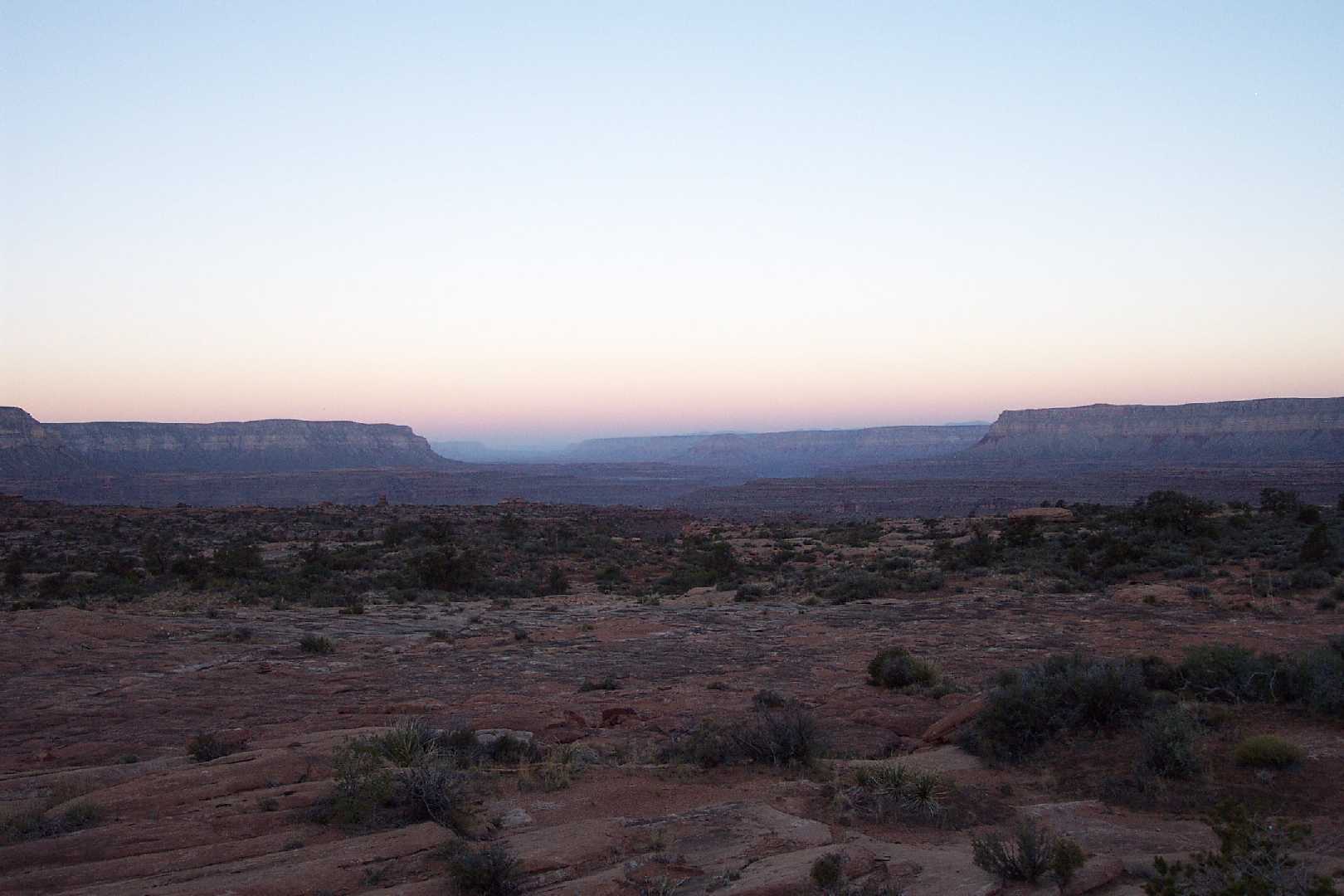
| Esplanade at Dusk |
|
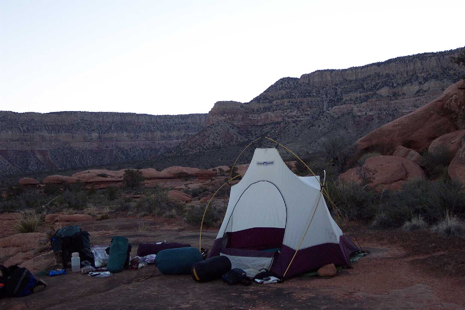
| Esplanade Campsite |
After circling Monument Point, the Bill Hall Trail descends through the 255 million year-old Toroweap limestone and the 260 million year-old Coconino sandstone formations. The flat, welcome expanse of the Esplanade (a red slickrock terrace of 265 million year-old Hermit Shale) is visible through this descent of nearly 50 switchbacks. The Bill Hall Trail ends at a junction with the Thunder River Trail on the Esplanade. One could arrive at this same junction beginning at the Thunder River Trail which originates further west and takes a more gradual descent over roughly twice the distance. A complete description of this route can be found at Thunder River Trail Description.
We arrived at the aforementioned intersection early in the evening and continued our hike over the relatively smooth terrain for approximately a mile before setting up camp. The Esplanade is a great area for camping, with innumerable flat, smooth surfaces and great views. It is also a great spot to cache water for the return trip out, something I had read in preparation for the trip but failed to do. If I take this trip again I will cache water, likely somewhere on the Esplanade.
Created on ... November 15, 2004